An Atlas of England and Wales. Forty Plates from John Speed's Pocket Atlas of 1627 introduced and described by E.G.R. Taylor. [King Penguin 61]. NEAR FINE COPY IN UNCLIPPED DUSTWRAPPER
An Atlas of England and Wales. Forty Plates from John Speed's Pocket Atlas of 1627 introduced and described by E.G.R. Taylor. [King Penguin 61]. NEAR FINE COPY IN UNCLIPPED DUSTWRAPPER | Libri antichi e moderni | Taylor E. G. R.
Libri antichi e moderni
Taylor E. G. R.
Penguin Books, [Harmondsworth],
1951
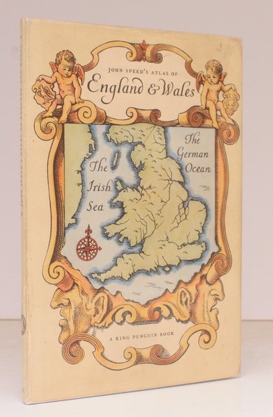
An Atlas of England and Wales. Forty Plates from John Speed's Pocket Atlas of 1627 introduced and described by E.G.R. Taylor. [King Penguin 61]. NEAR FINE COPY IN UNCLIPPED DUSTWRAPPER
An Atlas of England and Wales. Forty Plates from John Speed's Pocket Atlas of 1627 introduced and described by E.G.R. Taylor. [King Penguin 61]. NEAR FINE COPY IN UNCLIPPED DUSTWRAPPER | Libri antichi e moderni | Taylor E. G. R.
Libri antichi e moderni
Taylor E. G. R.
Penguin Books, [Harmondsworth],
1951
20,70 €
(Devon,
Regno Unito)
Metodi di Pagamento
- PayPal
- Carta di Credito
- Bonifico Bancario
- Pubblica amministrazione
- Carta del Docente
Dettagli
- Anno di pubblicazione
- 1951
- Autore
- Taylor E. G. R.
- Editori
- Penguin Books, [Harmondsworth]
- Soggetto
- penguins, king penguins, topography, cartography, maps, atlases, john speed
- Lingue
- Inglese
Descrizione
Sm. 8vo., First Edition, with 40 full-page coloured plates, neat signature on front free endpaper, some faint offsetting from fold-ins to free endpapers; original series binding of printed boards, a near fine copy in unclipped dustwrapper. King Penguin, 61.