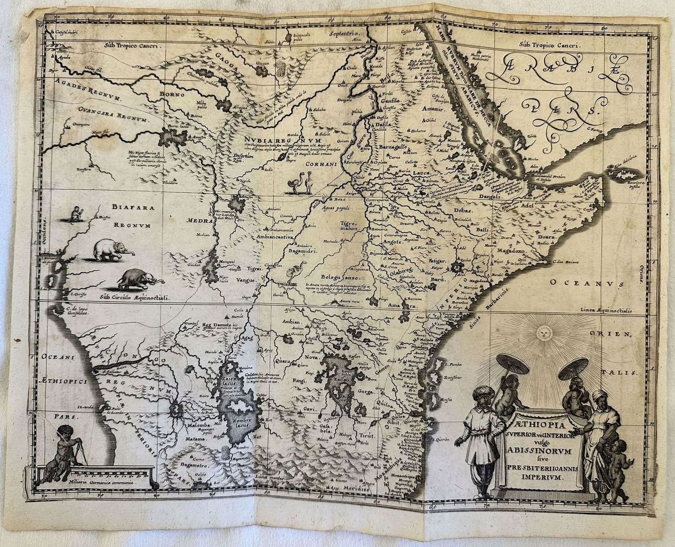
AETHIOPIA SUPERIOR VEL INTERIOR VULGO ABISSINORUM SIVE PRESBITERI IOANNIS IMPERIUM
AETHIOPIA SUPERIOR VEL INTERIOR VULGO ABISSINORUM SIVE PRESBITERI IOANNIS IMPERIUM | Libri antichi e moderni | Jan Jansson



AETHIOPIA SUPERIOR VEL INTERIOR VULGO ABISSINORUM SIVE PRESBITERI IOANNIS IMPERIUM
AETHIOPIA SUPERIOR VEL INTERIOR VULGO ABISSINORUM SIVE PRESBITERI IOANNIS IMPERIUM | Libri antichi e moderni | Jan Jansson
Metodi di Pagamento
- PayPal
- Carta di Credito
- Bonifico Bancario
- Pubblica amministrazione
- Carta del Docente
Dettagli
- Autore
- Jan Jansson
Descrizione
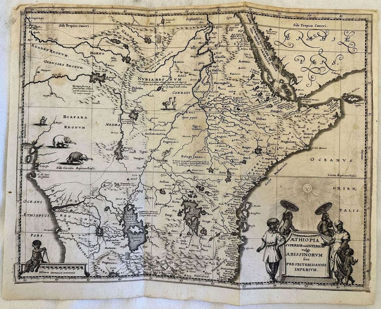
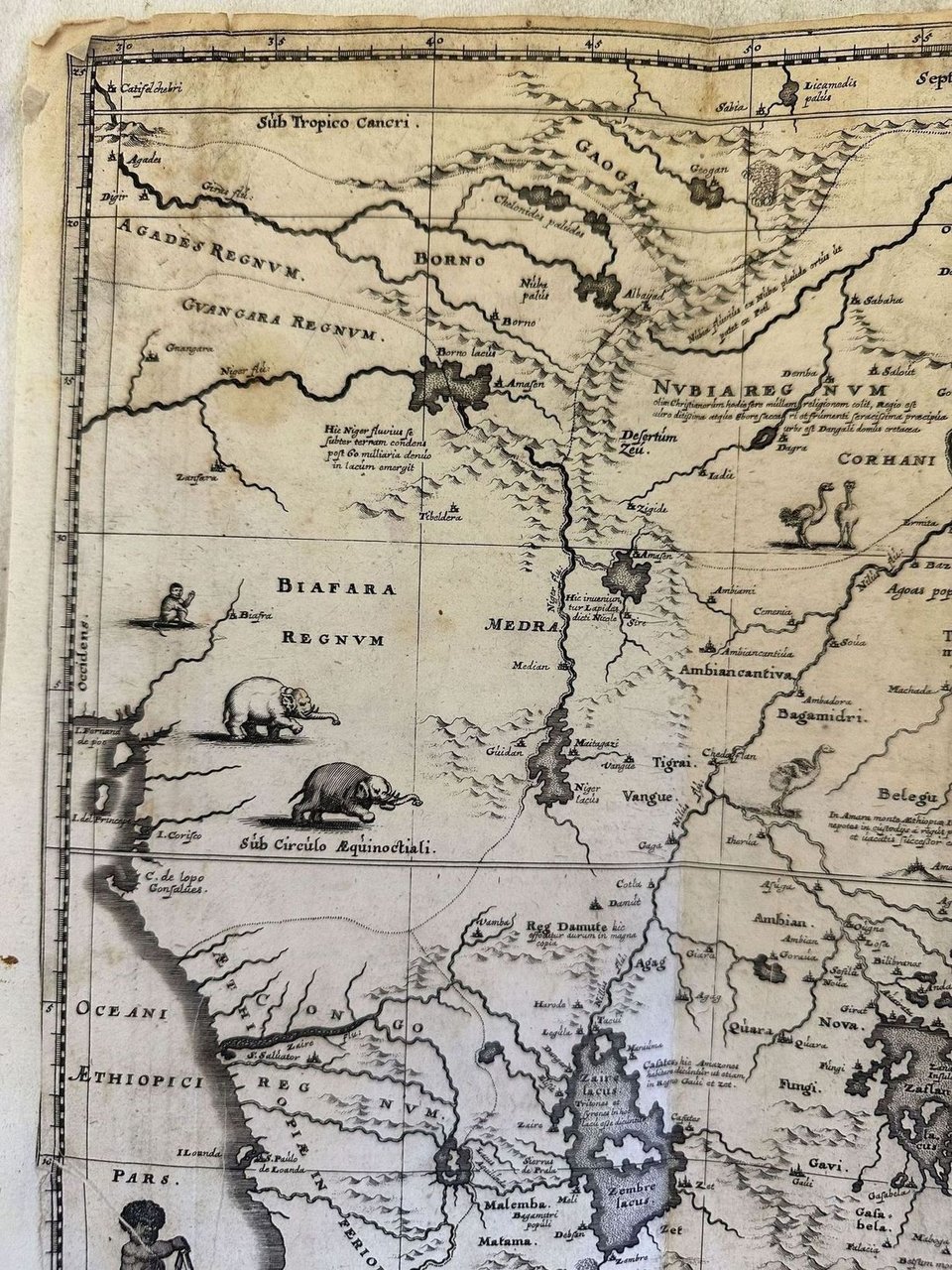
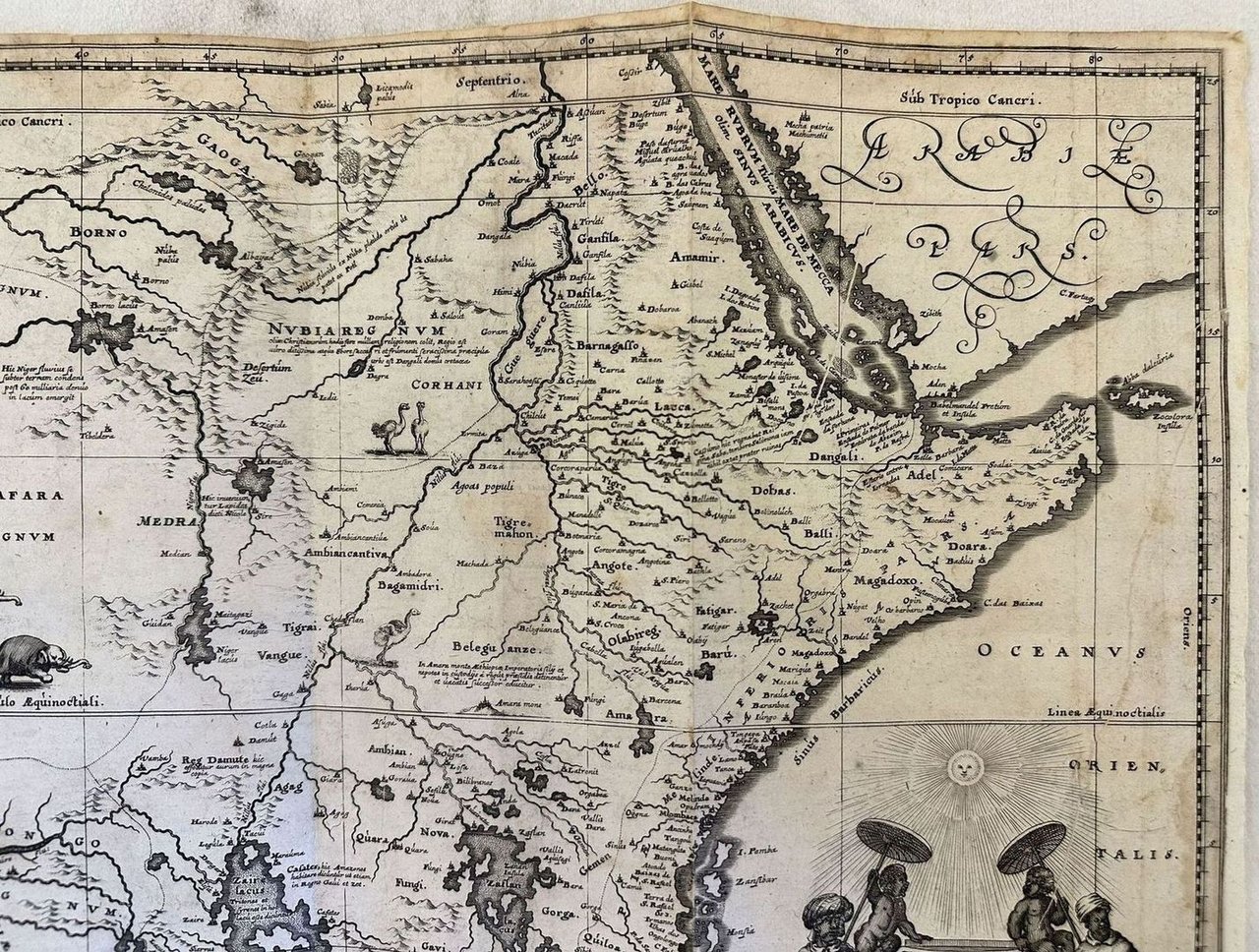
Data: 1635 circa<BR><BR>Dim. pagina: 390x310 mm. <BR><BR>Dim. incisione: 370x295 mm. <BR><BR>Tecnica: acquaforte su rame<BR><BR>Condizioni: Buone, rare fioriture. Alcuni strappi al margine superiore<BR><BR> <BR><BR>Edizione Valk & Schenk' da matrice di Jan Jansson dell'Africa centrale e orientale del 1635 circa. La mappa mostra dal nord Mozambico all'odierno Sudan. La mappa contiene numerosi riferimentia loghi costieri e isole come Zocolora, Pemba, Zanzibar, Monsia, Quoriba, Principe. Vengono rapprsentati numerosi fiumi, villaggi e insediamenti impreziositi da rappresentazioni di animali come struzzi ed elefanti. Cartiglio decorativo che mostra indigeni. I due laghi ptolemaici di Zaire e Zaflan nella porzione inferiore della mappa, Lago Niger e Fiume Niger. La mappa si basa sulla mappa di Ortelius di Prester John, patriarca cristiano. Sheet size: 390x310 mm. Plate area: 370x295 mm. Technique: Copper engraving Overall condition: Good condition, with light foxing. Some tears in the upper edge Valk & Schenk's edition of Jan Jansson's map of central and Eastern Africa del 1635 circa The map features from Mozambique north to present day Sudan. The map contains numerous coastal place names such as Zocolora, Pemba, Zanzibar, Monsia, Quoriba, Principe. The map includes numerous rivers, villages and settlements throughout, and is highly embellished with elephants, ostriches and other animals within the map, as well as a decorative cartouche flanked by natives. The two Ptolemaic lakes of Zaire and Zaflan are in the lower portion of the map; Lake Niger, and the supposed course of the Niger River, is shown flowing westward. The map is based pn the map of Ortelius of the christian patriarch Prester John.<BR><BR> <BR><BR>