The Up-to-Date Road Map of 30 Miles About London : New Arterial and By-Pass Roads Distinctly Indicated)
Libri antichi e moderni
The Editor
Geographia Ltd,
1930
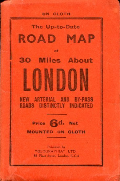
The Up-to-Date Road Map of 30 Miles About London : New Arterial and By-Pass Roads Distinctly Indicated)
Libri antichi e moderni
The Editor
Geographia Ltd,
1930
12,50 €
(Hyde,
Regno Unito)
Metodi di Pagamento
- PayPal
- Carta di Credito
- Bonifico Bancario
- Pubblica amministrazione
- Carta del Docente
Dettagli
- Anno di pubblicazione
- 1930
- Luogo di stampa
- London
- Autore
- The Editor
- Editori
- Geographia Ltd
- Formato
- 6.25 x 4 inches
- Soggetto
- London Map, 1930s,
- Descrizione
- Soft Cover
- Sovracoperta
- False
- Stato di conservazione
- Molto buono
- Lingue
- Inglese
- Legatura
- Brossura
- Copia autografata
- False
- Prima edizione
- False
Descrizione
No marks or inscriptions. Very clean map and covers with very minor creasing to oversize parts of covers. 1pp. Linen-backed map of London's roads. Opens up to 22 x 18 inches. Undated but the arterial roads were new around 1930.