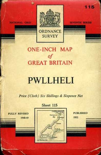
Pwllheli : One-Inch Map of Great Britain No 115 (cloth)
Libri antichi e moderni
Ordnance Survey
Ordnance Survey,
1952
Pwllheli : One-Inch Map of Great Britain No 115 (cloth)
Libri antichi e moderni
Ordnance Survey
Ordnance Survey,
1952
6,25 €
(Hyde,
Regno Unito)
Metodi di Pagamento
- PayPal
- Carta di Credito
- Bonifico Bancario
- Pubblica amministrazione
- Carta del Docente
Dettagli
- Anno di pubblicazione
- 1952
- Luogo di stampa
- Chessington, Surrey
- Autore
- Ordnance Survey
- Editori
- Ordnance Survey
- Formato
- 7.75 x 5 inches
- Soggetto
- Map, Wales,
- Descrizione
- Fair
- Descrizione
- Paperback with Oversize Covers
- Sovracoperta
- True
- Stato di conservazione
- In ottimo stato
- Lingue
- Inglese
- Legatura
- Brossura
- Copia autografata
- False
- Prima edizione
- False
Descrizione
Cloth backed map in near fine condition, unmarked and not rubbed with some creasing near the folds. Dusty cover with nicks to the oversize extremeties. 1pp. Seventh Series.