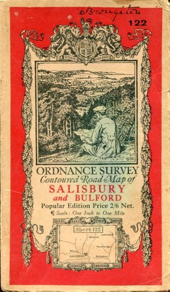
Ordnance Survey Contoured Road Map of Salisbury and Bulford :Linen-backed Sheet 122
Libri antichi e moderni
Ordnance Survey
Ordnance Survey,
1919
Ordnance Survey Contoured Road Map of Salisbury and Bulford :Linen-backed Sheet 122
Libri antichi e moderni
Ordnance Survey
Ordnance Survey,
1919
20,00 €
(Hyde,
Regno Unito)
Metodi di Pagamento
- PayPal
- Carta di Credito
- Bonifico Bancario
- Pubblica amministrazione
- Carta del Docente
Dettagli
- Anno di pubblicazione
- 1919
- Autore
- Ordnance Survey
- Editori
- Ordnance Survey
- Formato
- 7.5 x 4.5 inches
- Soggetto
- Map, Salisbury, Wiltshire
- Descrizione
- Soft Cover
- Sovracoperta
- False
- Stato di conservazione
- Molto buono
- Lingue
- Inglese
- Legatura
- Brossura
- Copia autografata
- False
- Prima edizione
- False
Descrizione
No added marks or inscriptions. Linen-backed map in excellent bright condition, not torn. Covers lightly marked and creased. 1pp. One-inch to one mile Ordnance Survey map of Wiltshire around Salisbury, Bulford and surrounding district published in 1919. Opens up to 22 x 30 inches. Extremely scarce.