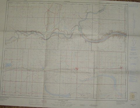
Map of Grassy Lake, Alberta, West of Fourth Meridian, Scale 1:50,000
Libri antichi e moderni
No Author
Surveys and Mapping Branch, Department of Energy, Mines and - Resources,
1975
Map of Grassy Lake, Alberta, West of Fourth Meridian, Scale 1:50,000
Libri antichi e moderni
No Author
Surveys and Mapping Branch, Department of Energy, Mines and - Resources,
1975
79,95 €
(Ladysmith,
Canada)
Metodi di Pagamento
- PayPal
- Carta di Credito
- Bonifico Bancario
- Pubblica amministrazione
- Carta del Docente
Dettagli
- Anno di pubblicazione
- 1975
- Luogo di stampa
- Canada
- Autore
- No Author
- Editori
- Surveys and Mapping Branch, Department of Energy, Mines and, Resources
- Edizione
- F First Edition
- Soggetto
- Map of Grassy Lake, Alberta, West of Fourth Meridian, Scale 1:50, 000 Sherburne Lake Fincastle Lake South Saskatchewan River, Burdett Old Man River Bow River Taber Municipality Forty Mile, County Purple Springs 25 foot contours, water bodies, roads, rail lines, Structures Maps Alberta
- Descrizione
- Map
- Stato di conservazione
- Molto buono
- Lingue
- Inglese
- Prima edizione
- True
Descrizione
36" x 25.5". Indicates 25 foot contours, water bodies, roads, rail lines, structures, etc. Light wear. Unmarked. Book